
Drone mapping Dallas construction and property teams can build on — SkyLVL turns FAA-certified flights into measurable aerial data: orthomosaic site maps, topographic context maps, stockpile volume reports, and monthly progress documentation, all delivered by the same local crew that has flown DFW since 2012.
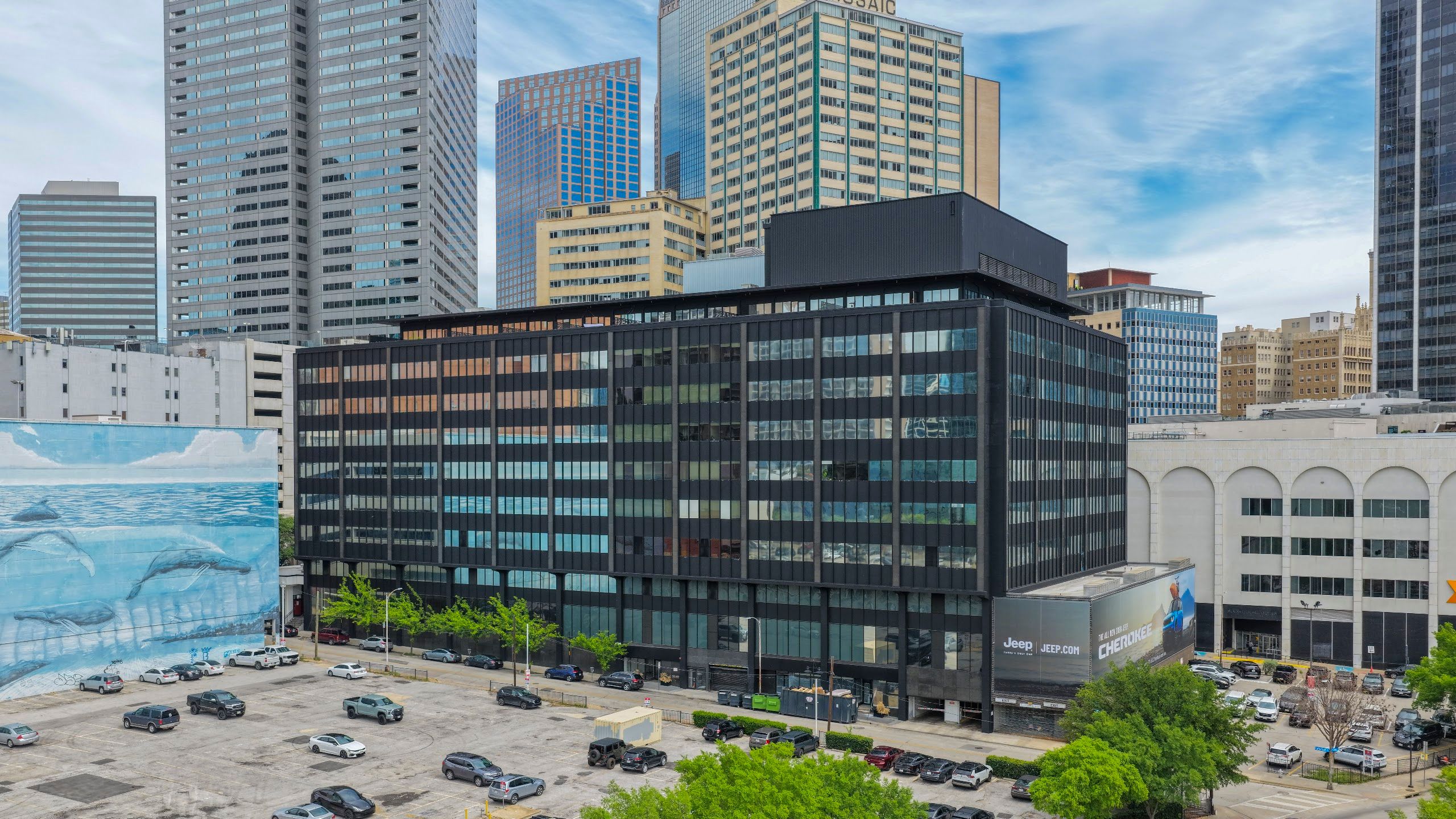
Aerial Data Deliverables
Orthomosaic & Construction Site Maps
High-resolution, top-down site maps stitched from hundreds of overlapping aerial photos. Measure distances and areas, overlay site plans, and share a current bird’s-eye record of the whole project with your team. Delivered as GeoTIFF plus shareable JPG/PDF exports that drop into DroneDeploy-, Procore-, and CAD-compatible workflows. It’s the deliverable most drone mapping Dallas clients start with.
Topographic & Planning Maps
Photogrammetry-derived elevation models and contour outputs for early-stage planning, drainage review, and pre-construction context. We fly the site, process the data in-house, and deliver point cloud and surface files your engineer can pull straight into their software.
Stockpile Volume Measurement
Recurring aerial stockpile measurements for materials yards and active sites — repeatable flight plans so every month’s numbers compare apples to apples, with volume reports delivered alongside the imagery. It’s the drone mapping Dallas materials yards count on for month-end numbers.
Cut/Fill & Earthwork Progress
Track dirt moving week over week. Compare surfaces between flights to see where a pad, pond, or roadway stands against plan — paired with the same-day aerial photos your marketing and investor updates need.
Construction Progress Documentation
The core of our construction work: scheduled monthly (or weekly) flights capturing consistent photo sets, 4K video, and an updated site map — groundbreaking to ribbon cutting. See our Dallas construction progress photography service for the full documentation program.
SkyLVL Mapping & Progress Packages
SkyLVL Site — one-time flight: full orthomosaic site map, 20+ high-resolution aerial stills, measurement-ready exports, delivered within 48 hours of the flight. Ideal for due diligence, pre-development, and marketing packages.
SkyLVL Progress — recurring monthly program: consistent progress photo set, 4K video clip, updated site map, and side-by-side comparison against prior flights. One crew, one deliverable link your whole team can share. Weekly cadence available for fast-moving phases.
Both packages are flown under the FAA’s Part 107 commercial drone rules with LAANC authorization for DFW’s Class B airspace, fully insured for active construction sites, and scheduled fast — most DFW flights mobilize within 24–48 hours, with same-day aerial photography available on most requests.
Who uses drone mapping in Dallas?
General contractors tracking multi-phase builds, developers documenting sitework for lenders and investors, materials yards that need monthly stockpile numbers, and civil engineers who want current visual context between formal surveys. If your team is comparing drone mapping Dallas providers, ask every vendor the same three questions: who flies (in-house, FAA-certified pilots or subcontractors), who processes the data, and how fast it lands in your inbox. Our answers: our own crews, in-house processing, and 48 hours or less.
Honest scope
Our maps are photogrammetry-based visual and measurement tools for planning, documentation, and communication. They are not a substitute for a boundary or design survey by a licensed surveyor — when a project needs stamped survey data, we’re happy to fly alongside your survey team and handle everything visual.
Drone Mapping Dallas: Common Questions
How accurate are the maps? Accuracy depends on flight altitude and ground control; typical outputs measure within a few centimeters per pixel — excellent for progress tracking, stockpiles, and planning-grade measurement.
How fast is delivery? Photos same-day on most shoots; processed maps and volume reports typically within 48 hours of the flight.
Can you fly active construction sites near DFW or Love Field? Yes — we hold LAANC authorizations for DFW’s controlled airspace and fly it weekly, fully insured for on-site work.
What areas do you cover? The full Metroplex — Dallas, Fort Worth, Plano, Frisco, Denton, Arlington — plus regular routes to Houston, Austin, and San Antonio.
Ready to put drone mapping Dallas teams trust on your next project? Request a fast quote — get a quote — and see our commercial real estate drone photography for the marketing side of the same flight.

Dive straight into the feedback!Login below and you can start commenting using your own user instantly