
Reaching for the SKY
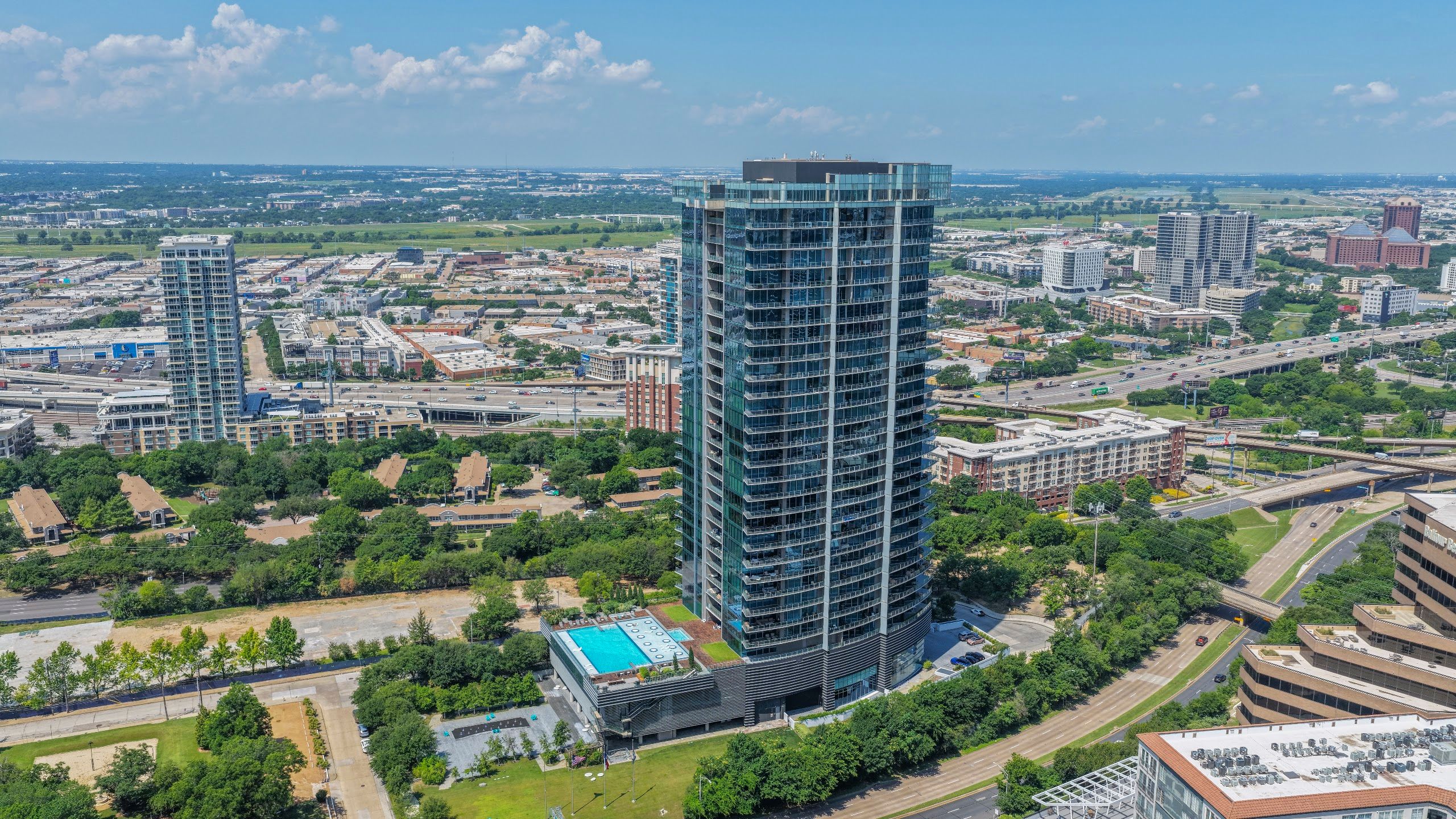
SkyLVL is the Dallas drone company brokers, builders, and brands have trusted since 2012 — one of the longest-operating FAA-certified drone operators in North Texas. We work locally and nationally, providing aerial photography, 4K video, drone mapping, and Matterport services across multiple industries.
Drones aren’t all we do, we provide exceptional aerial photographs from manned Helicopters and Planes.
Sky Level Altitude Media has been involved in many exciting productions over the years – Feature Films, TV Commercials, Live Events and Unique Properties all over the Country. Let our Expertise in Drone Photography and Video Production showcase your next project in the best light possible.
Ready to work with a Dallas drone company that answers the phone? Contact one of our aerial photography specialists today for an estimate on your upcoming project!

SkyLVL Firsts: Drone Delivery Before It Was Cool
Years before delivery drones hit the mainstream, SkyLVL was the crew behind two of DFW’s most talked-about drone delivery projects.
Jamba Juice × Frisco ISD (October 2016). When Jamba Juice opened its new Frisco headquarters, SkyLVL flew the test flights delivering smoothies in carriers designed by Frisco ISD engineering students — a two-week student design challenge capped by a live drone delivery. As covered by Community Impact and Frisco ISD.
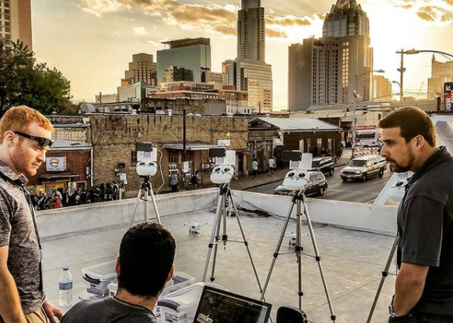
Pecan Lodge × UberEATS (July 2016). At UberEATS’ Dallas launch party, SkyLVL’s drones flew legendary Pecan Lodge barbecue in to the crowd — one of the first food-by-drone deliveries the city had ever seen. As covered by The Dallas Morning News, KERA News, and Dallas Innovates.
Since then: thousands of flights across DFW’s Class B airspace, a modern fleet (Inspire 3 dual-operator, Mavic 4 Pro, Matrice 4E, Avata 2 FPV), and the same Dallas drone company approach — our own crews, in-house delivery, and same-day photography available on most requests. See what that looks like today: commercial real estate drone photography, construction progress documentation, and drone mapping and site data.
Dive straight into the feedback!Login below and you can start commenting using your own user instantly