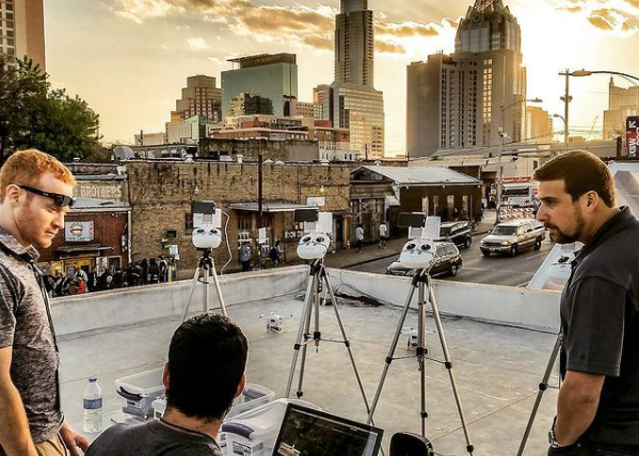
Construction
Starting at the site survey, drone video and photography can help track and monitor your construction project; or turn time lapse videos into stunning marketing content. We take pride in being the drone real estate experts in DFW! Have a multi-city project? We can handle that too.
Aerial Mapping
Do you need accurate, cost-effective, vertical imaging for your next project? We can provide custom geo-referenced orthophotos and 3D models of your site. We will optimize a flight plan, process the data received and relay it back to your project team to integrate into your workflow. We work with Engineers, Surveyors, Architects, GIS and BIM departments to help provide accurate, high-definition data that can take the place of a ground survey.
Construction Progress
Capture aerial views of your construction site to receive high-quality images for marketing and documentation purposes. General Contractors are finding site progression photos to be an essential tool in project management, whether tracking for stakeholders or documentation to alleviate future claims and disputes. Let us help you create your site progress library.
Time Lapse
Our unmanned aircraft can reliably take photos at the same vantage points throughout construction. Turn any of these views into a time lapse video at the end of your construction project for a stunning marketing piece for websites, emails and social media.
Drone Photo/ Video
We make the capture of your site plan come to life with the highest quality shots, all timed for the best skies and lighting. From fully produced promotional videos highlighting future amenities to fully edited photos and videos to create your own marketing pieces, let us capture your aerial highlight reel. Our drone pilots are fully insured and FAA compliant.
Ground Level Photo/ Video
Our ground-level photography and videography allows for high-resolution images of your property and surrounding areas. Spotlight specific construction milestones, capture every moment of on-site events, such as ground breaking or topping off parties, or create a ground-level tour of nearby hot spots for marketing.
Helicopter Photo/ Video
Need a more robust view of your site? Manned helicopter capture allows us to fly higher than the limits set for drone flights – currently 400-foot max, set by the FAA. Additionally, our videographers can capture larger spaces for longer periods of time, which is helpful in showcasing more expansive properties.
Multi-City Capture
If your portfolio includes locations in multiple cities, let us handle the details. We take a personalized approach to capturing your portfolio, with a trusted network of drone specialists across Texas, and with the ability to travel nationwide.
Dive straight into the feedback!Login below and you can start commenting using your own user instantly